MagniMap Map Case
Sea Rover Deck Compass
Foam "Saddles" for Wide Roof Rack Bars
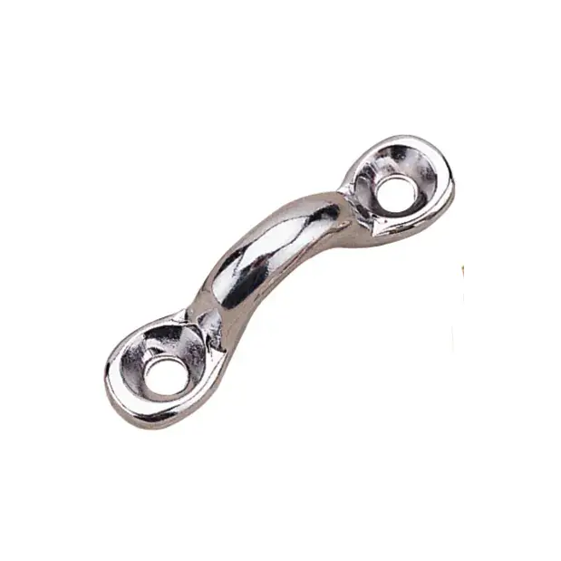
5/16" Stainless Steel Pad Eye Kayak Deck Fitting
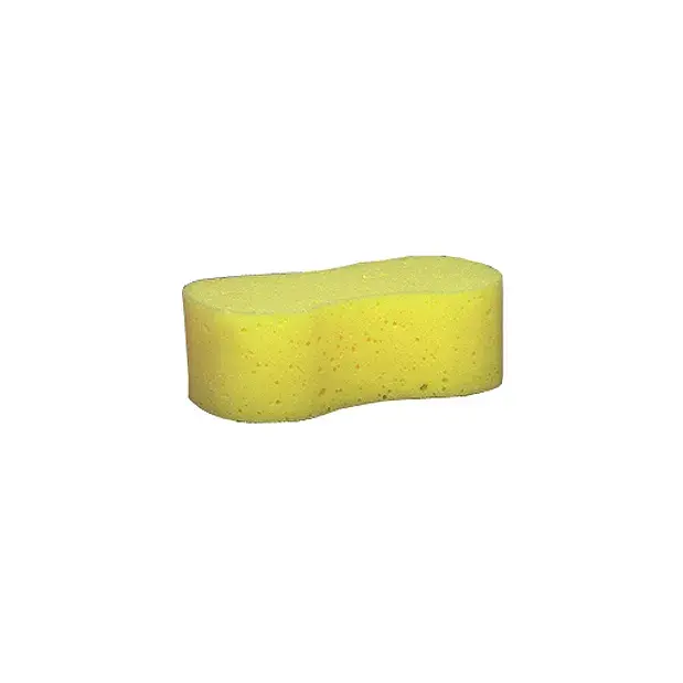
Starbrite Boat Bailing Sponge
Delta Kayaks Skeg Deployment Cleat
Delta Kayaks Circle Fitting with Hardware
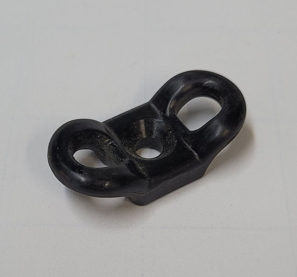
Delta Kayaks Butterfly Fitting
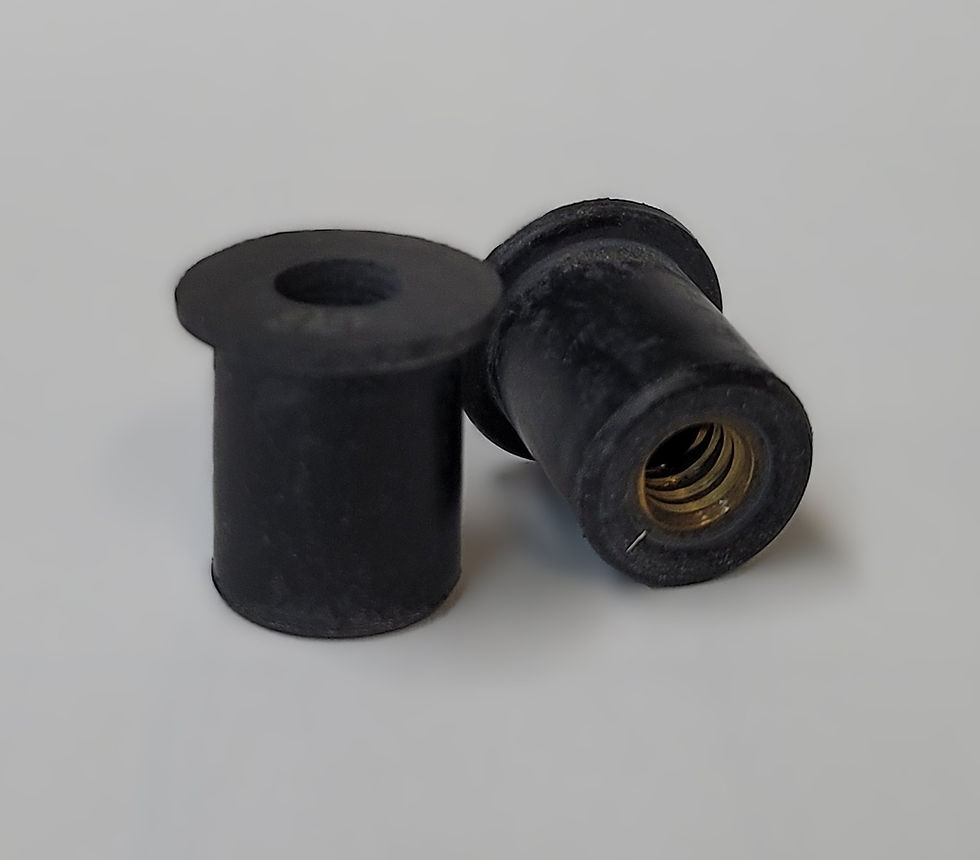
Delta Kayaks Replacement Rubber Well Nuts
Delta Kayaks Replacement Rudder Block
Delta Kayaks Replacement Rudder Haul Line
Delta Kayaks Replacement Locking Bar
Delta Kayaks Rudder Stay V-Block
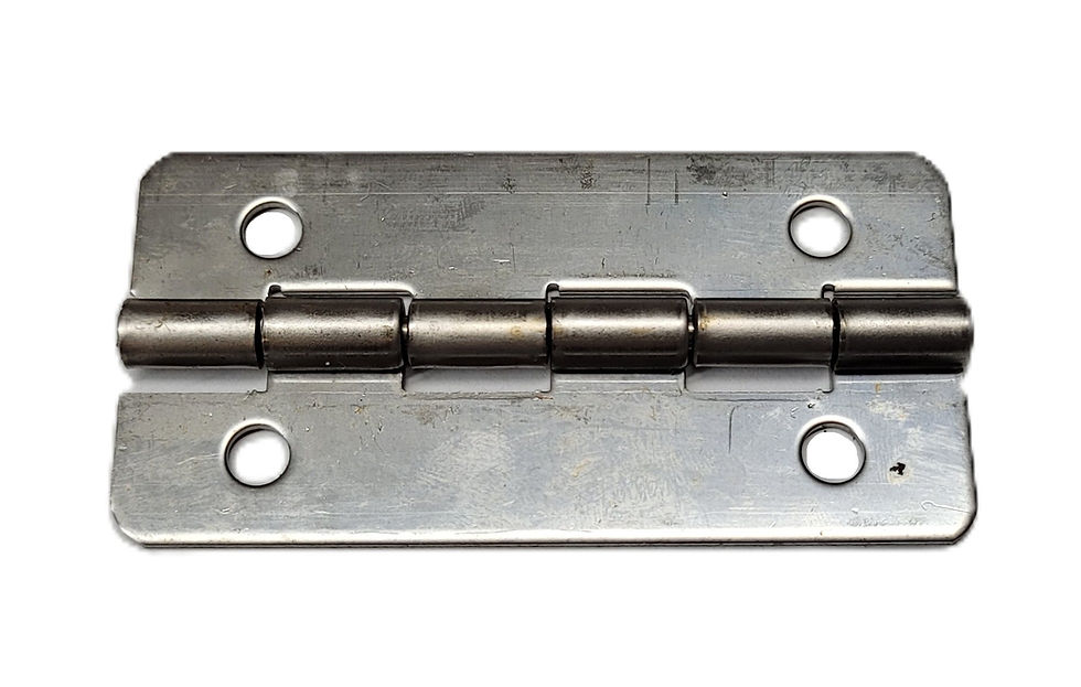
Delta Kayaks Replacement First Generation Seat Post Hinge
Delta Kayaks Replacement Neoprene Hatch Cover
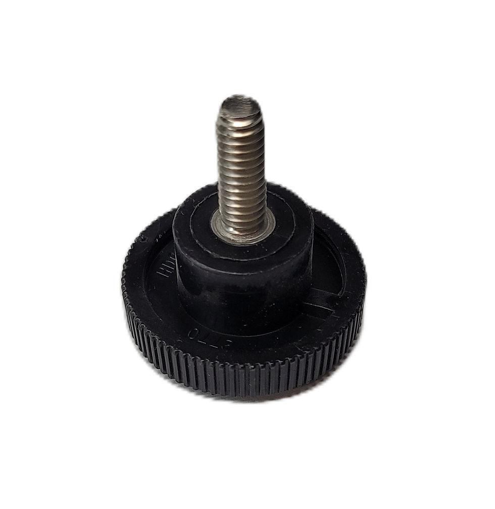
Delta Kayaks Seat Knob